15 February 2015
New on-line map of European agroforestry research and demonstration
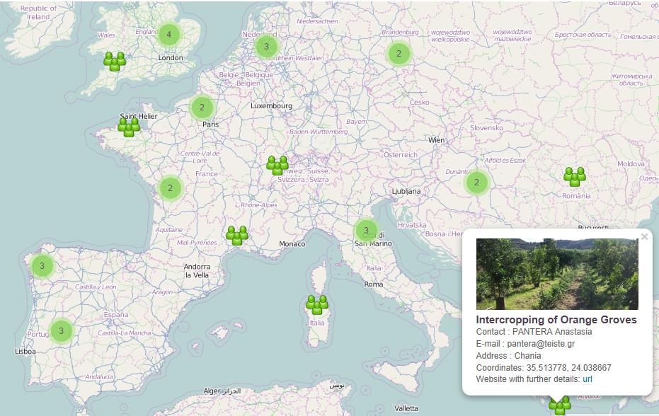
A new on-line map highlighting the location of the 40 stakeholder groups within the AGFORWARD project is now available on the following website: http://www.agforward.eu/map-of-agroforestry-research-and-demonstration-in-europe.html
The map describes the location and activity of 40 agroforestry stakeholder groups which met during 2014. During the AGFORWARD project, researchers and farmers in these groups will be working together to improve agroforestry understanding and practice. They range from research with reindeer in the wood-pastures of central Sweden (in the North-East), grazed orchards in Northern Ireland, UK (in the North-West), montados in Portugal (in the South West), and the intercropping of citrus groves in Crete, Greece (in the South East of Europe). By clicking on the symbols, you should be able to access details of each group, including a web-page and contact details.
During the project, we will seek to include details of other agroforestry research and demonstration sites.